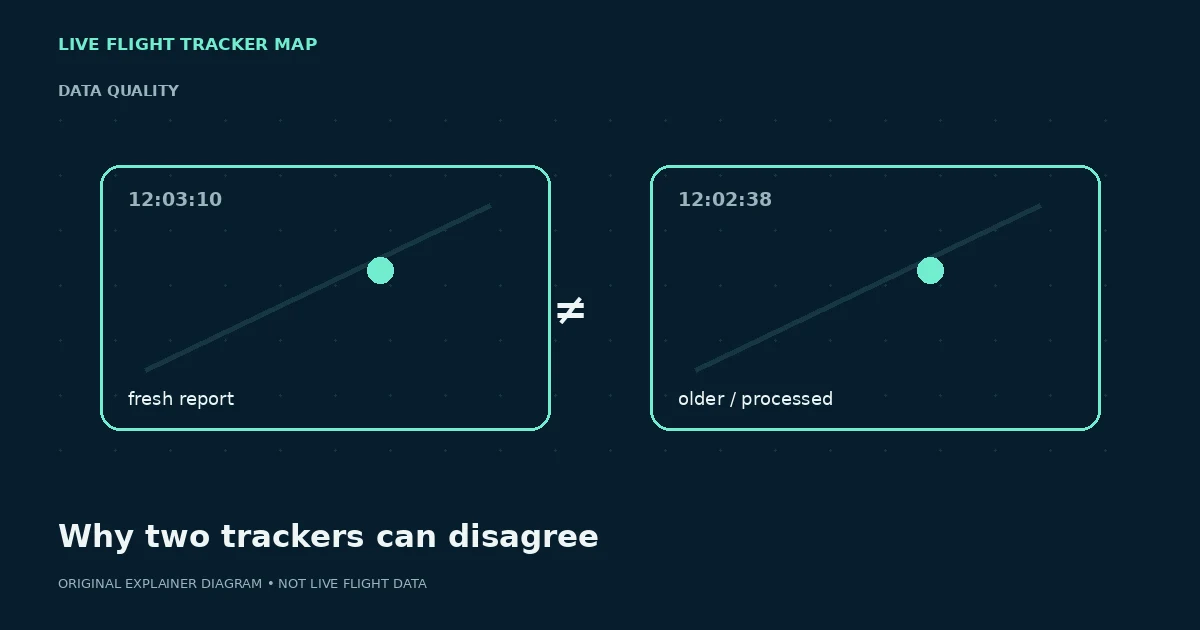
Start with the timestamp
Two maps can be showing reports collected at different moments. At airline speeds, even a short timing difference can move an aircraft many kilometres. Compare the age of the position before comparing the pixels on the map.
If one service does not expose an update time, be cautious about treating its marker as more current merely because the animation looks smoother.
The services may not receive the same observations
Receiver networks, commercial feeds, satellite coverage, filtering rules and regional partnerships differ. One service can have a fresh report while another has only an older point or no point at all. An aircraft can therefore disappear from one tracker and remain visible on another.
Privacy or regulatory filtering can also affect availability. The absence of public position data should not be interpreted as evidence of an emergency or diversion.
Interpolation changes what your eyes see
A map can animate an aircraft between observations so movement appears natural. That is a user-interface decision, not a new measurement. Different interpolation methods can make two markers appear separated even when the last underlying reports are similar.
Zoom level, map projection and rounding of coordinates can add smaller visual differences too.
Use disagreement as a reason to verify
For curiosity, compare timestamps and continue exploring. For airport pickup or travel disruption, move to the operating airline or airport. A tracker position cannot by itself confirm a gate, cancellation, arrival at the stand or passenger readiness.
A good workflow is to use tracking data for position context and official travel sources for decisions.
A 90-second comparison checklist
Put the two trackers side by side and compare five things before judging the difference: aircraft or flight identifier, timestamp or position age, latitude/longitude if exposed, altitude, and direction of travel. Then note whether either service labels the point as estimated, interpolated or source-limited. A newer timestamp can explain a surprisingly large separation.
If both services show fresh data but disagree materially, keep both screenshots and timestamps rather than declaring one “wrong.” The services may ingest different observations or process them differently. For a passenger decision, stop comparing maps and move to the operating airline or airport status page.
Further reading
Try a live flight search
Flight status by airline →How this guide is maintained
We review terminology against aviation and airline sources, test examples against the behavior of our own tracker, and separate position data from passenger-status claims. We do not invent a live status when a data source is missing. Corrections can be sent through the contact page.