Altitude is not one universal number
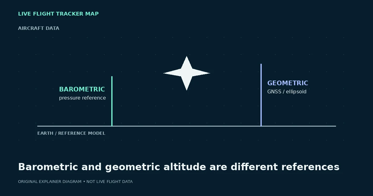
Aircraft systems and tracking feeds can represent altitude from different references. Barometric altitude is derived from pressure information and is central to vertical separation in aviation. Geometric or GNSS-derived altitude is based on a position solution and a different reference model. The values can legitimately differ.
A consumer tracker can label, convert or round those values in its own way. Read the field name instead of comparing two unlabeled numbers.
Pressure settings matter
Barometric altitude depends on atmospheric pressure conventions. Aircraft operating at higher levels use a standard pressure reference for flight levels, while local pressure settings are relevant closer to the ground. A public feed may provide a pressure-derived value without the local context needed to interpret it exactly as a pilot would.
That is one reason a map altitude should not be used for navigation, terrain clearance or operational decisions.
Why the displayed value can jump
Receiver updates, source changes, rounding and switching between ground/air states can produce visible steps. A vertical-rate field also describes a rate of climb or descent, not a second altitude. Missing or stale values can make a panel look inconsistent for a short time.
Use trends cautiously and always check the timestamp. A single surprising value is not proof of an unsafe aircraft condition.
What the number is good for
For general exploration, altitude helps distinguish an aircraft on the ground, climbing, cruising or descending. Combine it with speed, vertical rate and the track history rather than reading it in isolation.
For any safety-critical interpretation, rely on qualified aviation systems and official sources—not a public flight-tracking website.
The FAA definition is a useful reality check
The FAA explains that ADS-B can report both barometric and geometric altitude. In its ADS-B guidance, barometric altitude is pressure altitude referenced to the standard 29.92-inch setting, while geometric altitude is calculated by GPS relative to the Earth ellipsoid. Those are intentionally different measurements, so a difference between them is not automatically a data error.
A tracker may expose one, both or a renamed/rounded field depending on its data contract. This page explains the concepts; it does not attempt to reconstruct an aircraft’s indicated altitude or local altimeter setting from a public feed.
Further reading
Try a live flight search
Flight status by airline →How this guide is maintained
We review terminology against aviation and airline sources, test examples against the behavior of our own tracker, and separate position data from passenger-status claims. We do not invent a live status when a data source is missing. Corrections can be sent through the contact page.